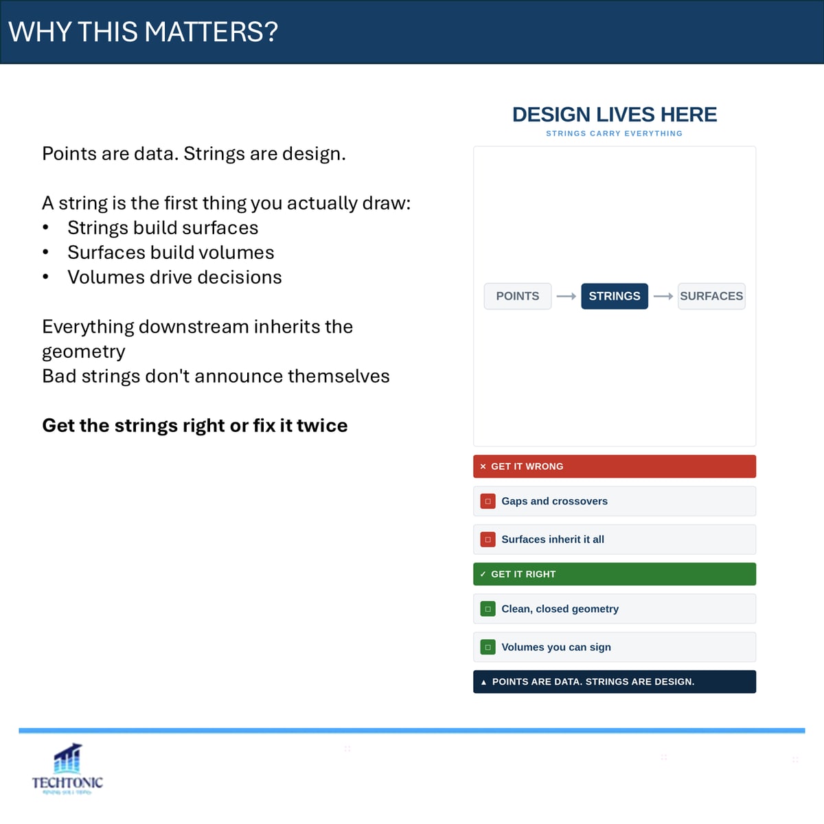
Points are data. Strings are design.
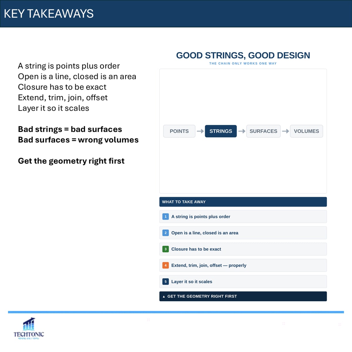
A string is the first thing you actually draw. Strings build surfaces, surfaces build volumes, and volumes drive decisions. Everything downstream inherits that geometry — and bad strings do not announce themselves.
What a string is
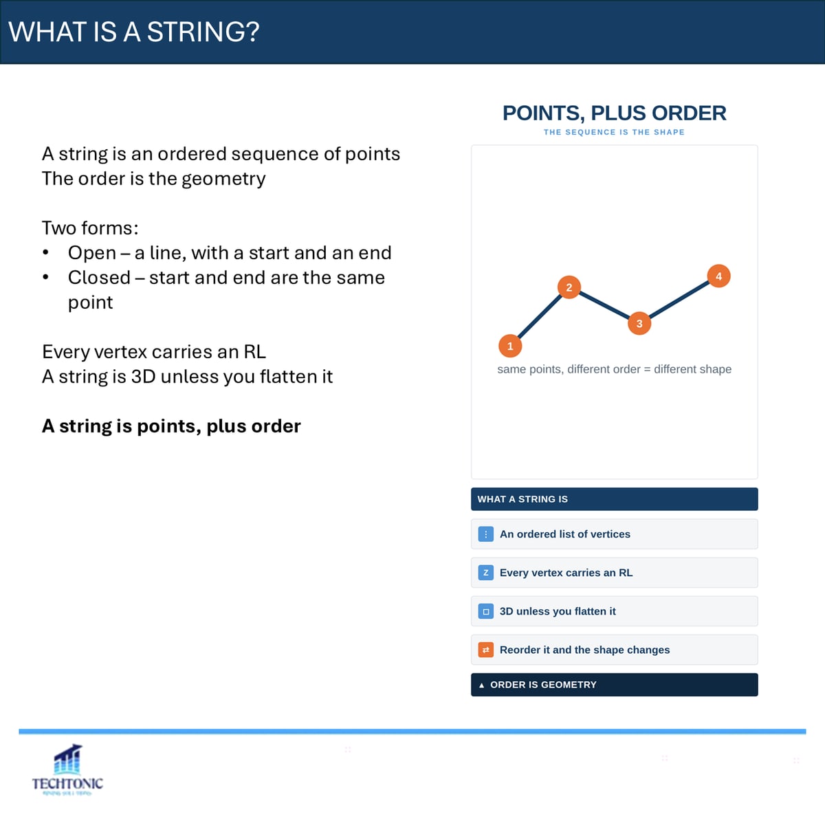
An ordered sequence of points, where the order is the geometry. Every vertex carries an RL, so a string is three-dimensional unless you deliberately flatten it.
A string is points, plus order.
Open against closed
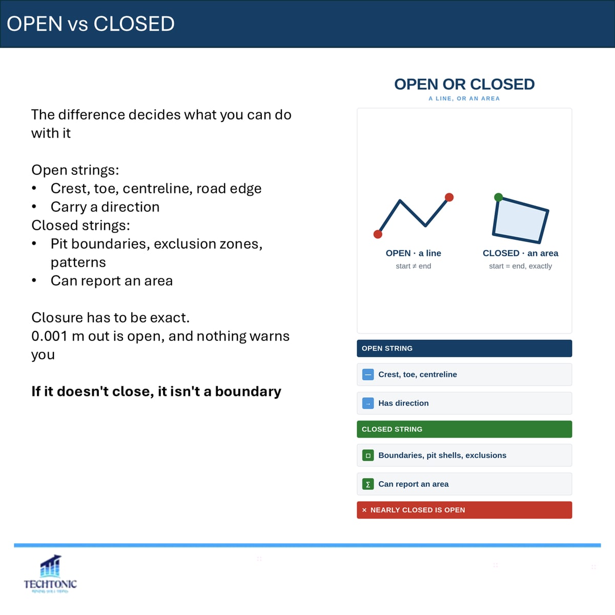
Open strings — crests, toes, centrelines, road edges — have a start, an end, and a direction. Closed strings — pit boundaries, exclusion zones, patterns — can report an area.
Closure has to be exact. A string that is 0.001 m out is open, and nothing will warn you. If it does not close, it is not a boundary.
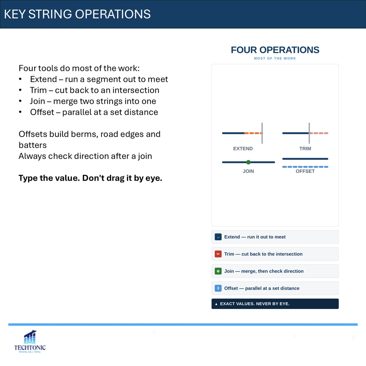
Four operations do most of the work
- Extend — run a segment out to meet another
- Trim — cut back to an intersection
- Join — merge two strings into one
- Offset — parallel at a set distance
Offsets are what build berms, road edges and batters. Always check direction after a join, and type the value rather than dragging it by eye.
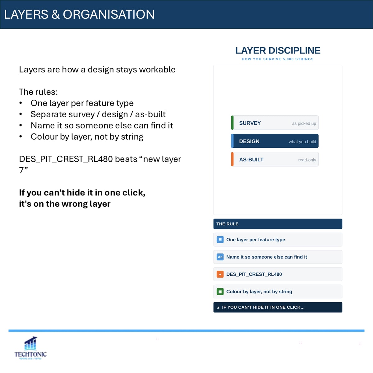
Layers are how a design stays workable
One layer per feature type. Separate survey, design and as-built. Name it so that someone else can find it, and colour by layer rather than by string.
DES_PIT_CREST_RL480 beats “new layer 7”. If you cannot hide it in one click, it is on the wrong layer.
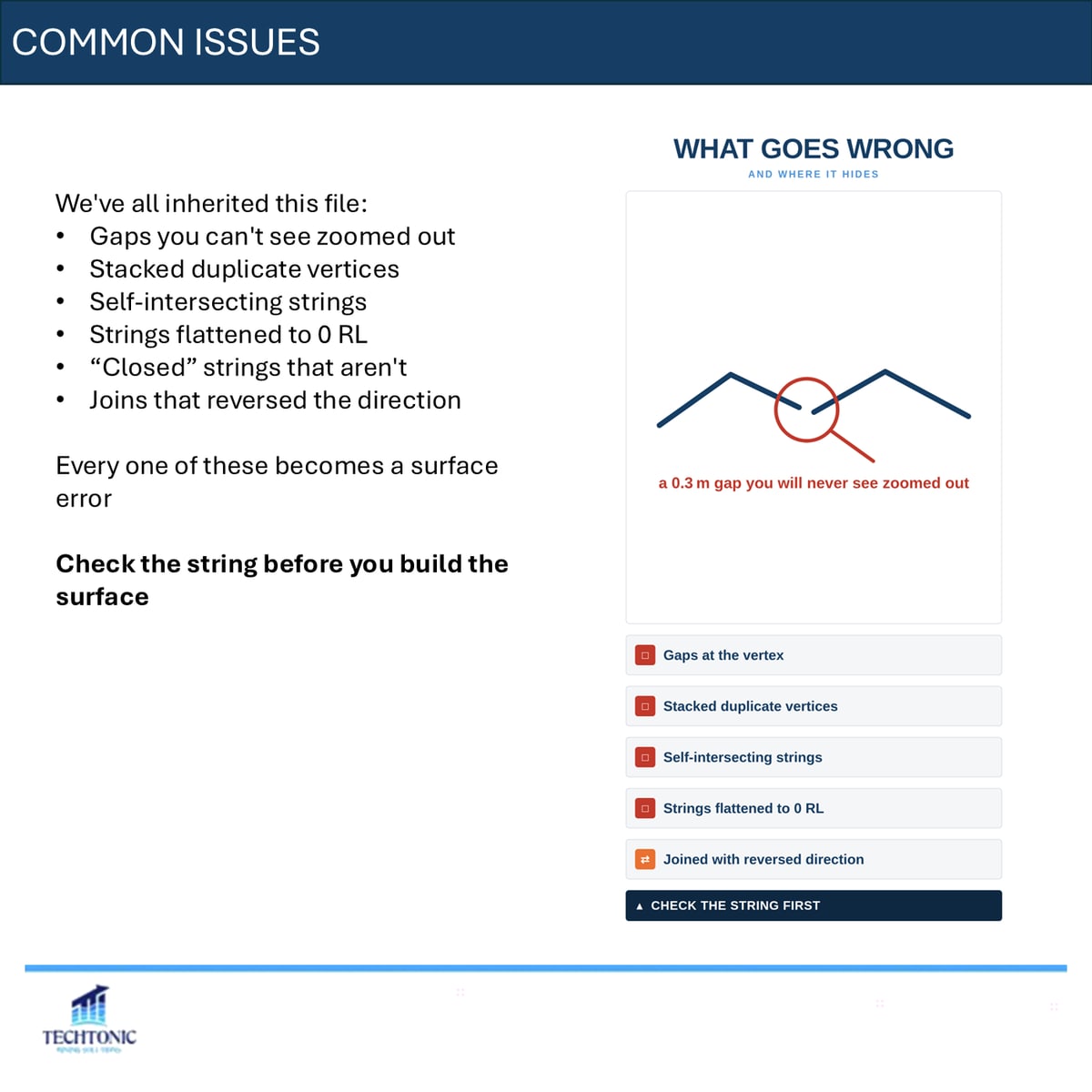
The file everyone has inherited
Gaps you cannot see zoomed out. Stacked duplicate vertices. Self-intersecting strings. Strings flattened to zero RL. Closed strings that are not closed. Joins that quietly reversed direction.
Every one of those becomes a surface error, and a surface error becomes a volume you report to someone.
Check the string before you build the surface. Get the geometry right first.
The carousel
This piece began as a LinkedIn carousel. The full deck is below — use the arrows, or click any slide to enlarge.