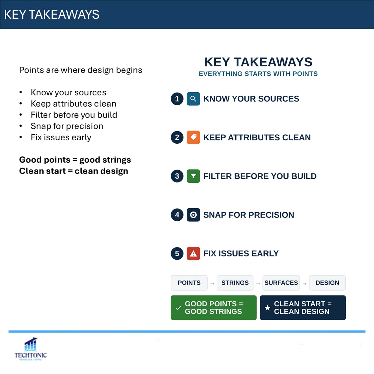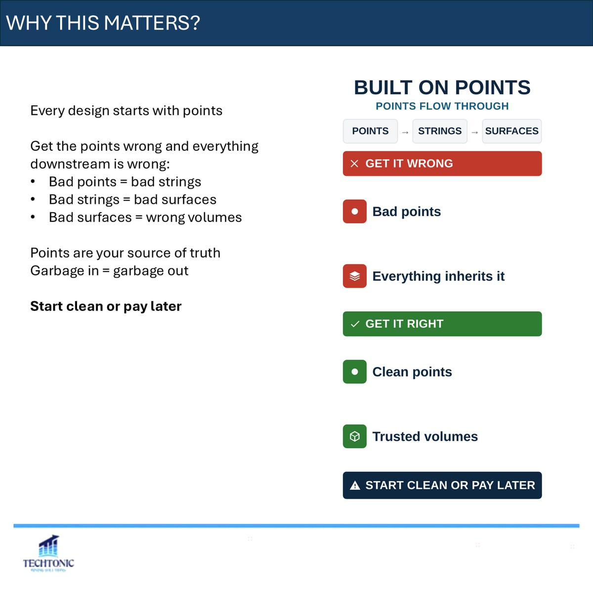
Every design starts with points. Get them wrong and everything downstream is wrong with them: bad points give you bad strings, bad strings give you bad surfaces, and bad surfaces give you volumes nobody can trust.
Points are your source of truth. Start clean or pay for it later.
What a point actually is
A single three-dimensional location — an X, a Y and a Z. They arrive from survey pickups, drillhole collars, spot heights and ground levels, and design setout points.
Every one of them is a fact about the ground.
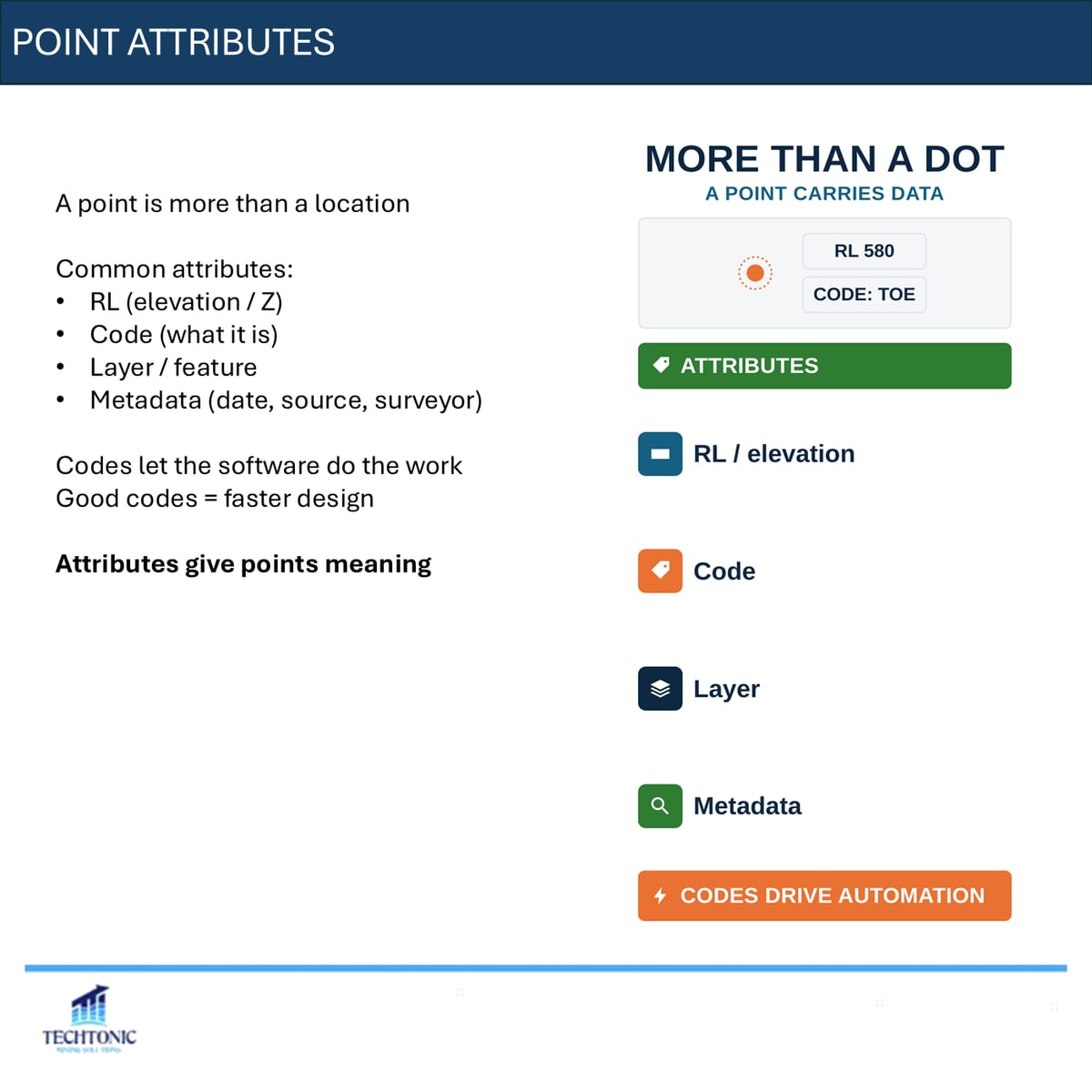
A point is more than a location
It carries attributes: RL, a code saying what it is, a layer or feature, and metadata — date, source, surveyor. The codes are what let the software do the work for you. Good codes make design faster; missing codes make it manual.
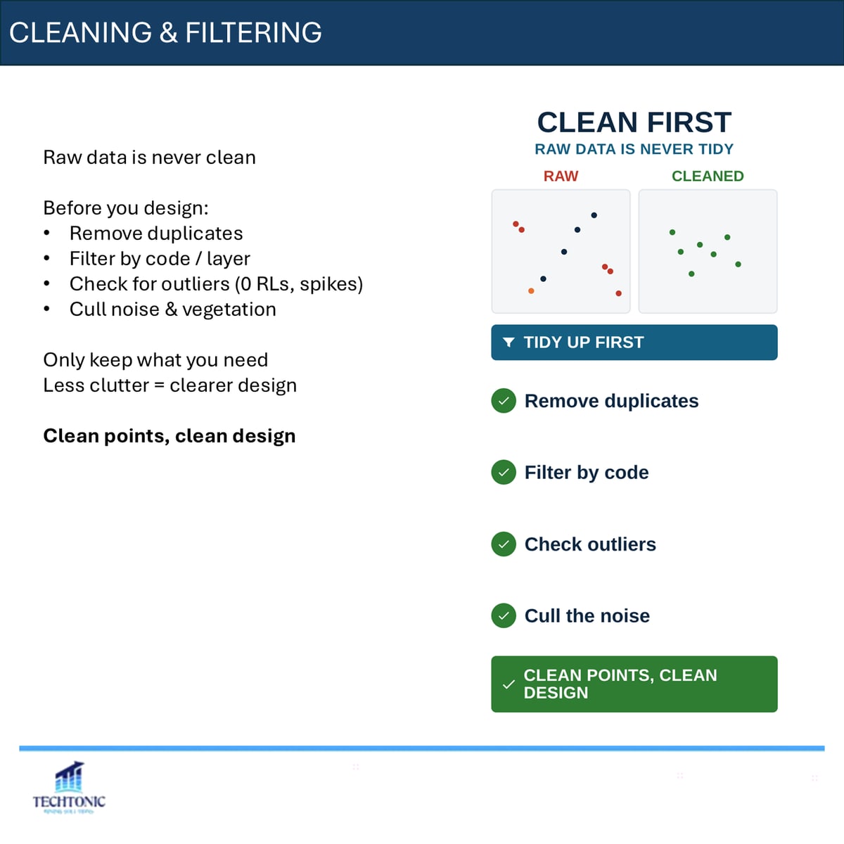
Raw data is never clean
Before you design: remove duplicates, filter by code or layer, check for outliers such as zero RLs and spikes, and cull noise and vegetation. Keep only what you need.
Less clutter is not tidiness for its own sake. It is a clearer design.
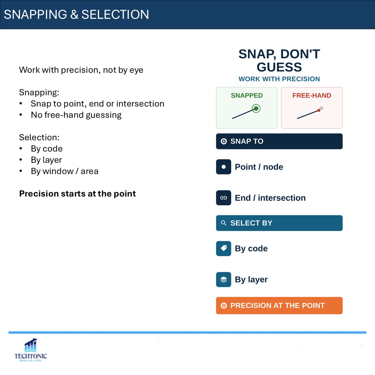
Precision, not eye
Snap to point, end or intersection rather than free-handing it. Select by code, by layer, or by window. Precision in a design starts at the point — everything after it inherits whatever you accepted here.
What goes wrong
Duplicate points. Bad elevations, zero RLs and spikes. Wrong codes. Mixed coordinate systems. Noise left in because nobody filtered it.
Small errors scale up fast, and they scale silently. Check your points before you trust them.
When did you last audit a survey pickup before designing off it?
The carousel
This piece began as a LinkedIn carousel. The full deck is below — use the arrows, or click any slide to enlarge.