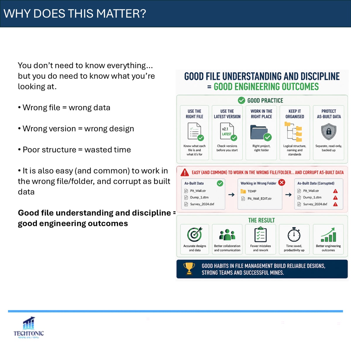
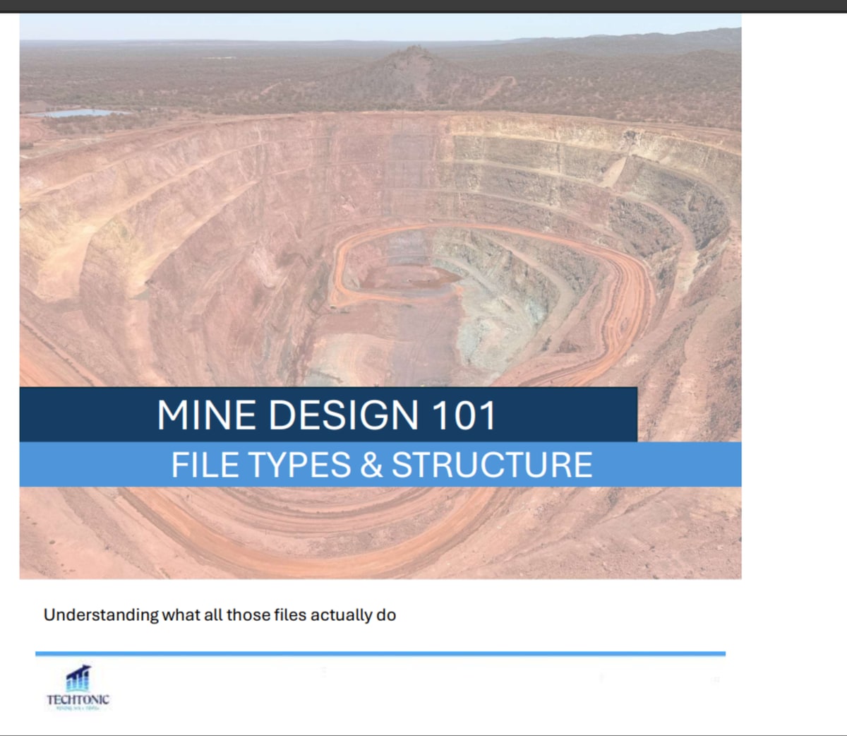
You do not need to know everything about the software you use. You do need to know what you are looking at.
Wrong file means wrong data. Wrong version means wrong design. Poor structure means wasted time. And it is easy — and more common than anyone admits — to work in the wrong file or folder and corrupt as-built data in the process. File discipline is not administrative overhead. It is part of engineering properly.
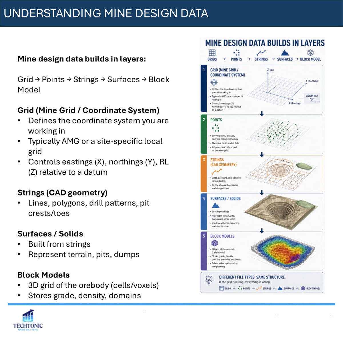
Mine design data builds in layers
Grid, then points, then strings, then surfaces, then the block model. Each layer depends on the one beneath it.
The grid defines the coordinate system you are working in, typically AMG or a site-specific local grid, and controls eastings, northings and RL relative to a datum. Strings are the CAD geometry: lines, polygons, drill patterns, pit crests and toes. Surfaces and solids are built from strings and represent terrain, pits and dumps. The block model is a three-dimensional grid of the orebody storing grade, density and domains.
The file types you will see everywhere
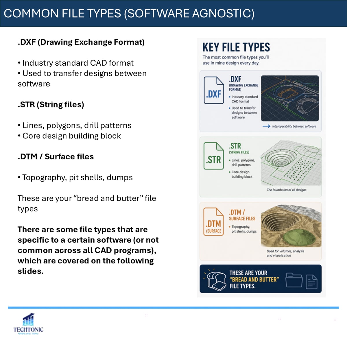
.DXF is the industry standard CAD exchange format, used to move designs between packages. .STR string files hold lines, polygons and drill patterns, and are the core design building block. .DTM and equivalent surface files carry topography, pit shells and dumps.
Those three are the bread and butter. Beyond them, packages have their own formats.
Vulcan
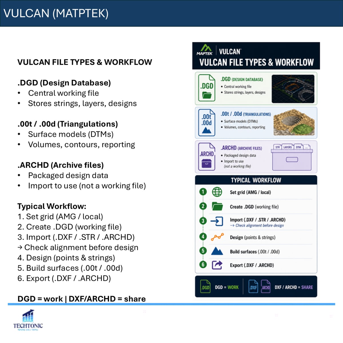
Vulcan is database-driven and centred on the .DGD design database, which is the central working file holding strings, layers and designs. Triangulations live in .00t and .00d files and carry surfaces, volumes, contours and reporting. .ARCHD archive files are packaged design data — something you import to use, not a working file.
The workflow runs: set the grid, create the .DGD, import what you need and check alignment before designing anything, design in points and strings, build surfaces, then export to .DXF or .ARCHD. In short, DGD is where you work and DXF or ARCHD is what you share.
Deswik
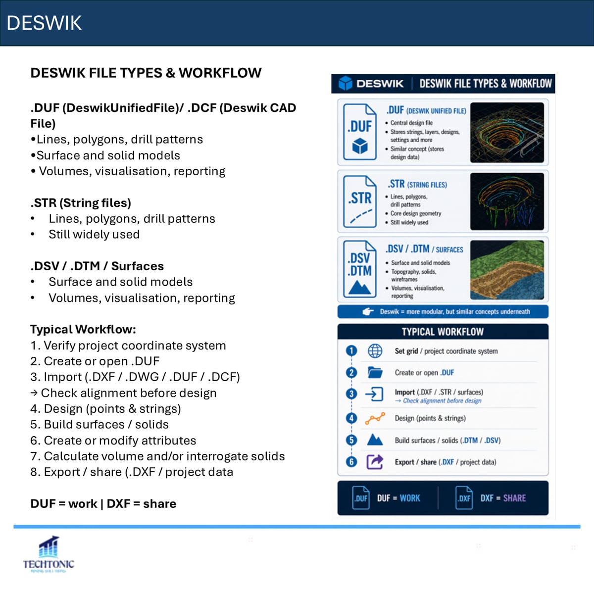
Deswik is modular, with several file types working together. .DUF and .DCF hold lines, polygons, drill patterns, surfaces and solids. .STR is still widely used. Surfaces sit in .DSV, .DTM and similar.
Verify the project coordinate system first, then open or create the .DUF, import and check alignment, design, build surfaces and solids, set attributes, interrogate volumes, and export. DUF is work, DXF is share.
Surpac
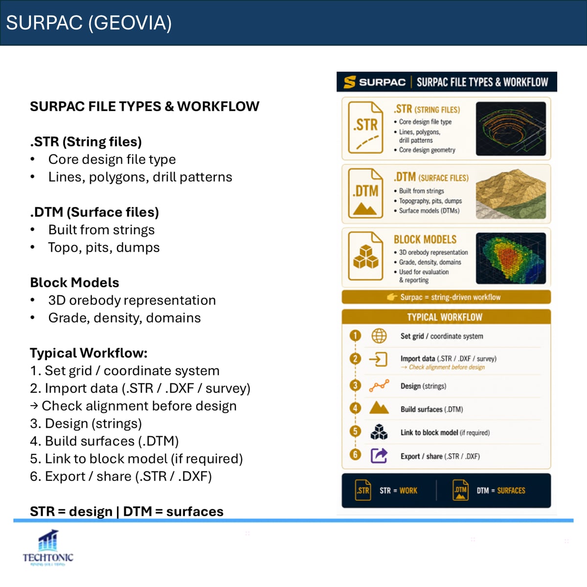
Surpac is string-driven. .STR is the core design file type, .DTM surfaces are built from strings, and block models carry the orebody. Set the grid, import and check alignment, design in strings, build surfaces, link to the block model where required, then export.
Different software, same fundamentals
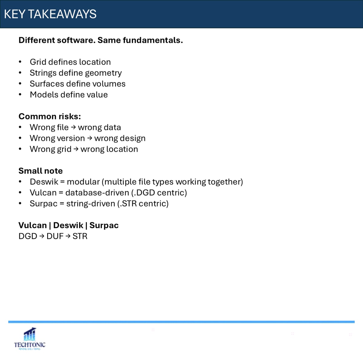
Grid defines location. Strings define geometry. Surfaces define volumes. Models define value. The extensions change between packages but the layers do not.
The risks do not change either. Wrong file gives you wrong data. Wrong version gives you wrong design. Wrong grid puts an otherwise correct design in the wrong place, which is the one that tends to be discovered latest and cost the most.
Would a new graduate on your site be able to tell which file is the working one?
The carousel
This piece began as a LinkedIn carousel. The full deck is below — use the arrows, or click any slide to enlarge.